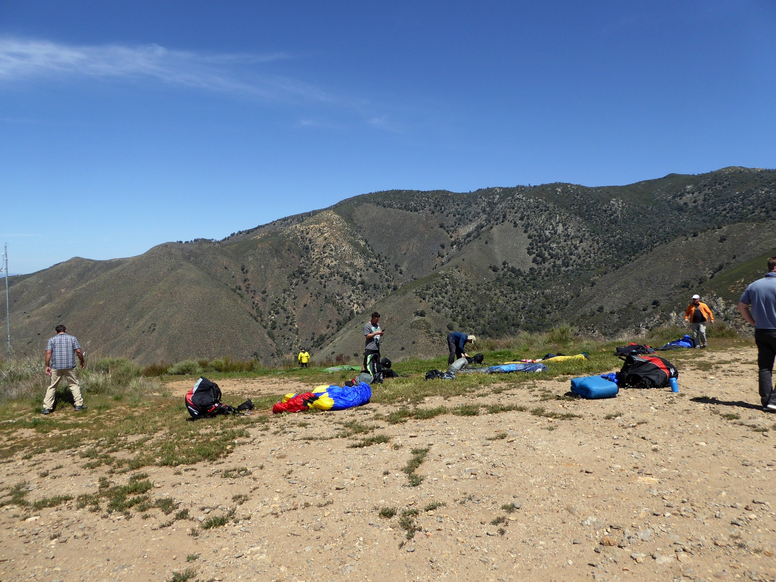
Just the next day after my successful flight from Kagel to Glendora we continue with brave XC attempts. Typically there are several days in a row with a great XC weather and you never know which day is the best. If you not there you will have to wait 1 year for the next chance. I met with Jonathan and our driver Wally at Andy Jackson flight park LZ around 10. Since upper wind was out from the north our plan was to cross Banning pass and fly toward Laguna Mt. I launched from Crestline at 12:20 and climbed straight to 7500, which means that we were late again!!! My plan was to fly back range to Keller Peak since I never try this route before. It was quite easy flying with strong fat thermals. It took me 1:10 to tag Keller and Jonathan catch up just before the peak.
We climbed together in 1000 fpm, but he left first bitten by turbulence, while I have to take it to the top. I glad I did. Its long glider to get out from there and I use most of the altitude I had.
After crossing highway 38 I got low and have to ridge soar for 10 minutes before I get out.
Jonathan was already flying into the pass. There was a small fire south of Banning and smog was very helpful to see wind direction and strength. It was light west through the pass. My options was to tag little San Gorgonio, get high there and cross
OR start crossing early with less altitude. I figured out I will not be able to cross on 1 glide anyway, but starting early will give me advantage to take drift toward pass, so chose this option. I was following little canyon along Bluff St. and found a good thermal.
My assumptions was right, drift was moving me exactly where I need to go while I was gaining more altitude. Downwind after first one I found 2nd thermal and took it. Now I was at 10500 between Banning and Cabazon ready to cross I-10.
I experience a lot of sink and some cross/head wind, but came over Jan Jacinto foothills still very high 6800.

Then I jumped over higher terrain, but keep a good margin between me and peak. Landing toward the San Jacinto Peak was problematic only tree lading. My bailout was highway 74. Even if I can’t make all the way to highway there were some landable fields toward this direction. I got a nice climb just before Idyllwild to cloud base 12200. There was a cloud street to my left and lonely cloud over the other side of valley to my right. That’s where I made my first mistake, which put me on the ground. I opted to go to lonely cloud via Lake Hemet, where Jonathan landed not long time ago. Over the lake I was not confident that I can clear Thomas Mountain ridge and change my mind turning to the left to cloud street. I did not have enough altitude and did not encounter any good thermal to make it there. After cruising another couple miles along highway 74 I landed on the road side. Developing storm ahead was a good consolation.

Wally and Jonathan were there shortly after. 8 miles short of record, but hey successful crossing of the Banning pass is achievement in itself.
GPS track:
http://www.paraglidingforum.com/leonardo/flight/503185
Advice from Rob McKenzie concerning the Banning pass