I still remember my first flight from Laguna 3 years ago, when I made mistake not to follow convergence, so I had obligation to come back and flew entire route. 1 week before the league forecast was great, but we was unable to get a team since it was Mother's day holiday. Surprisingly second weekend in a row we had another window to fly Laguna. You need light east wind, which is very rare event.
Palm Springs is a good goal for such flight, since it's shaded from Banning Pass wind, which normally picking up later in the day to dreadful 30+ mph. But to save 1:30 hours on retrieve time Aaron set goal just north east from Anza, so we don't need to drive down to Palm Springs and back. We also was thinking to tag Mt. San Jacinto outside of official task. Elapsed time, meaning you can start flying task as soon as you want was helpful too.
Mt. Laguna PG launch
I launched first at 11:16 followed by Len and Mark. We flew to start way-point at SPINES, but then Len took more straight line to Granite, while me and Mark spend more time trying to get higher before long transition.
Laguna launch from air
Flying with Len and Mark
I got pretty nasty 75% asymmetric collapse just near the spines, it came out ok with quite a surge.
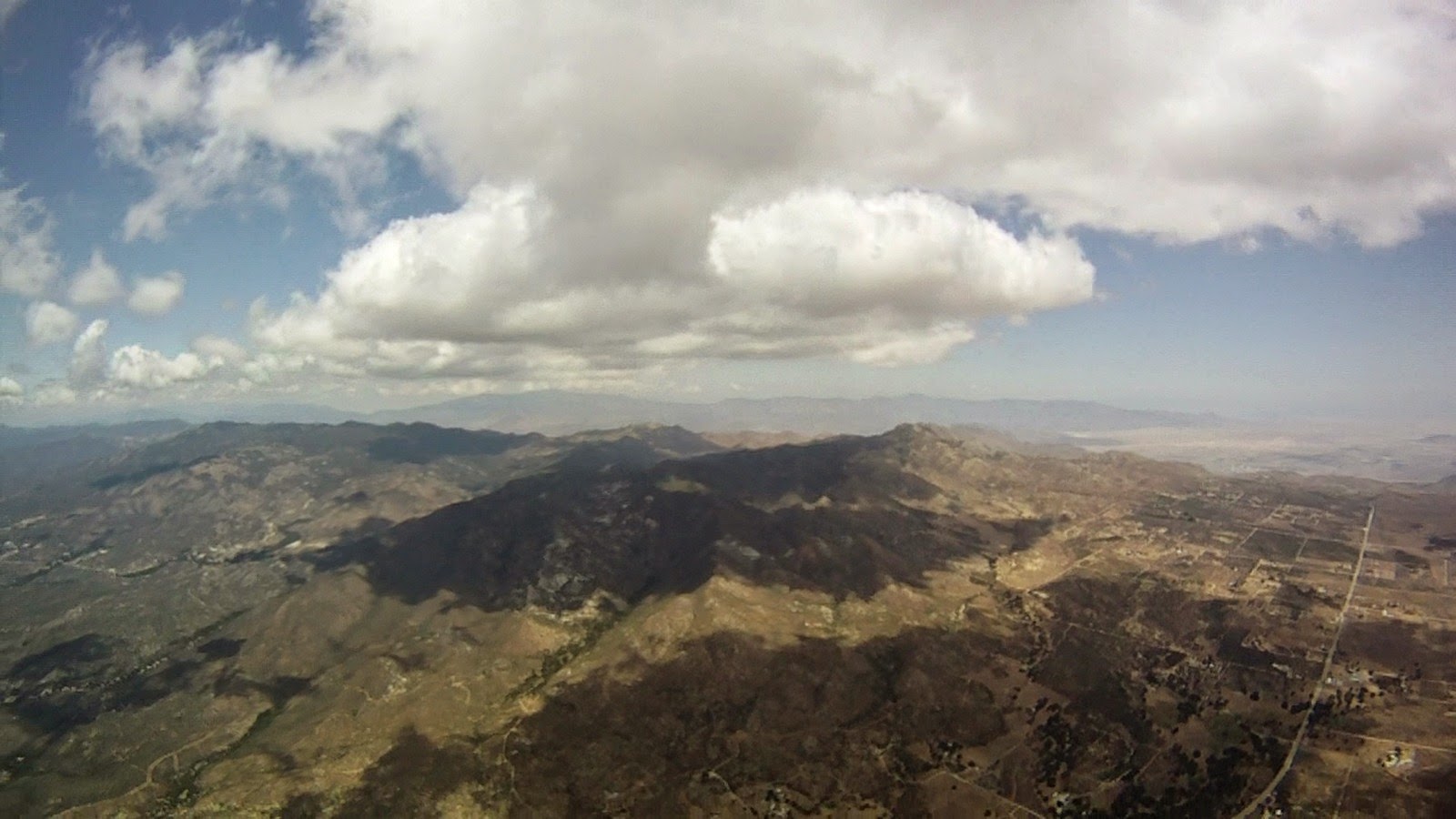
We topped out at 7500 ft over Granite Mt. and went left toward VOLCAN to join convergence, which was already marked by nice fluffy clouds.
Getting into convergence near Volcan
I can see Len in front and Mark with Peter to my right with Aaron, Jason and Jerome following in a short distance behind. Ridge was working great and we all flew fast here, but split in the end of valley. Peter, Jerome and Aaron took left (west) route along San Felipe Rd., Mark right (east) toward Ranchita, Len and me center. Greg and Jason followed Mark shortly after.
Looking toward Ranchita from Volcan ridge
Crossing S22 highway, Ranchita on my right
Mark got low and landed, Jason and Greg turn left and was following me. I hoped to follow Len, but lost sight of him. Turned out he chose the best line in the middle of mountains. Warner Springs flats was not working, strong west wind was pushing through, Jerome and Peter landed way out in flats. Aaron was able to adjust his line toward the mountains quick enough and then 4 of us (me, Aaron, Jason and Greg) all meet in the same thermal.
Aaron on his blue Delta 2
Jason on orange Niviuk Artik
Greg left first taking a deep line even more east then Len. Jason apparently did not like strong wind and significant drift toward the mountains, he tried to push forward and eventually landed. I end up flying with Aaron, taking small climbs and fighting with west wind. Altitude was only 7500 ft, ridiculously low for crossing Hot Springs Mountains.
Aaron
Flying near Warner Springs
Slowly we was making our progress to the north. Russ had a slow start, he had a cravat, spent a lot of time fighting it, end up low and behind everyone, but keep flying and eventually catch up with us. Aaron missed one of the best thermals, which allow me and Russ to fly over the back to Chilhuahua valley, but recovered and was following us, however never catch up again.
Gliding to Chilhuahua valley
Flying with Russ
After we crossed Chilhuahua valley and climbed on the other side we had enough altitude to transition to Anza valley, which was completely shaded, regardless we can glide for 10 miles without a single turn maintaining our altitude.
Flying above Anza
We crossed Thomas Mountain range already in 4 km goal cylinder, but still need to tag last way point 5 miles north of us. Wind was strong from the west. Russ opted for lee side of Thomas Mt. and I crossed valley first to be on windward side. While climbing I spotted Len who tag the last waypoint and was heading for goal. Huge cloud was growing over San Jacinto and even on full speed bar, hurrying to waypoint I was going up quite fast. Just 1 km before waypoint's radius I decided to bail, cloud was below me and small exit to my left toward the sun start closing as well, I have to spiral down few times to lose altitude slowly pushing out from the monster cloud.