In terms of competitions my plan was to fly Chelan this year, but I was few hours late to register and could not get a spot. This is insane how fast 130 spots are gone after registration is open these days, you need to be clicking on the button right that second when it opens. Process reminded me of Yosemite campsite booking. Exception is for top 30 or so pilots they can register whenever they wish. Anyway the second comp in US was in Monroe Utah, which is a nice spot and I have been there few times, so I went there without any hesitation.
There was an excellent weather just before the comp started, but during the comp we was not so lucky with only 3 tasks. My performance was not that good, I took 80th place out of 104, but scenery was certainly worth coming. And during the 3 rainy days I went to mini-trip to Moab and nearby parks, including Arches, Canyon Land, Dead Horse and Capital Reef.
 |
| Monroe launch |
 |
| Monroe LZ |
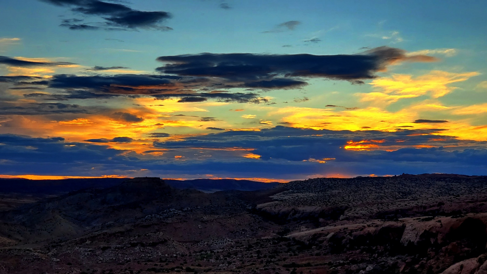
 |
| Rainbow on I-15 |
 |
| Storm clouds |
Results: https://airtribune.com/red-rocks-wide-open-22/results
Good weather forecast, but not many takers, in fact there was only me and Chris Gulden with Fast Eddie driving. It was unclear if we should use north or south launch. We picked south, but wind was still OTB, so we have to drive back to north launch, which also requires a short hike.
 |
| Pine north launch |
 |
| Chris Gulden |
I launched at 12:13 climbing right to 12K under the perfect cloud street. Launch was definitely at least 1 hour late, but I was glad to be in the air. Chris joined me shortly after, but we flew separately. Cloud street was south from Lockwood valley following Pine mountain ridge to Alamo mountain to Pyramid lake and probably all the way to Marshall and beyond.
 |
| Bad lands and Mt. Frazier in the middle |
I made mistake south of the Frazier Mountain by not following solid cloud street curving toward Pyramid lake and trying to use lonely cloud near Hungry valley. Cloud did not work and I encountered strong north wind feeding convergence. My motivation was absence of LZs under the solid cloud street and my general unfamiliarity with terrain in that direction. Another factor was our plan to fly toward Mojave. But in retrospective right choice was staying under the clouds and adjust the plans accordingly.
 |
| My LZ in Hungry valley |
Chris was more conservative and topped out higher 14K(?) near Frazier Mt., but it did not help him much and he also landed not far from me unable to get into Antelope valley. Crossing I-5 is the trickiest part of the flights from Pine Mt. Basically there are 3 air masses mixing in this spot. Air from the ocean (and Pine Mt.), air from Central valley and air from the desert.
My track:
https://www.paraglidingforum.com/leonardo/flight/3125697
Mt. Humphreys (13986 ft) is an outstanding peak, one of the 15 Sierra Emblem Peaks designated by the Sierra Club and 5.4 East Arete climb is one of the "100 Classic Climbs of the High Sierra". Russ was up for the challenge and we try our best to reach the top, but due to thunderstorm have to bail pretty close to the top.
 |
| Mt. Humphreys |
 |
| 4th class |


 |
| Russ |
 |
| Rain |

Onions valley to Roads End in Kings canyon is probably the easiest route across Sierra, only 21 miles long and can be done as a day hike. The main challenge is of course logistics since it's 350 miles and 7 hours drive between trailheads. The easy way to do this hike is to find a partner who will hike in opposite direction and just swap the cars in the end. I hiked with my son from Onion valley and Aleksey L. hiked from the Roads End. It took us ~11 hours to complete the hike.
 |
| Deer near Onion valley |
 |
| Sunrise |
 |
| University peak |
 |
| Kearsarge pass |
 |
| Bullfrog lake |
 |
| Bubbs Creek |
 |
| North Guard |
 |
| Alex & Alex |
 |
| Fern |
This is my first long flight from Horse Canyon. Dmitry was out of town and finding retrieve was a big quest for me. There was few groups of pilots flying that day, so I figured at least I could get a ride to launch and if I'm lucky I can fly with someone else to share a ride back.
 |
| Horse canyon launch |
 |
| Alex G. and Alex G. |
 |
| Alex Grey's landing |
My track:
https://www.paraglidingforum.com/leonardo/flight/3084613
Alex Grey's track:
https://www.paraglidingforum.com/leonardo/flight/3153025
 |
| Sunrise |
 |
| Olancha peak from the south |
 |
| Owens valley and Haiwee Reservoir |
 |
| Register |
 |
| Looking west |
 |
| Back to the Owens valley floor |