Saturday, December 22, 2018

Telescope Peak hike (attempt)

The trail to Telescope Peak begins from Mahogany Flat Campground at the end of Upper Wildrose/ Emigrant Canyon Road. With recent snow road was closed and we have to hike extra mile or 2 to trail head. Good trail except the last portion where it goes steep to the summit. Without crampons and ice axes we bailed.
Camping in Death Valley
 There was a little fox visited us at our camping spot.
Wildrose Charcoal Kilns


Looking at Death Valley
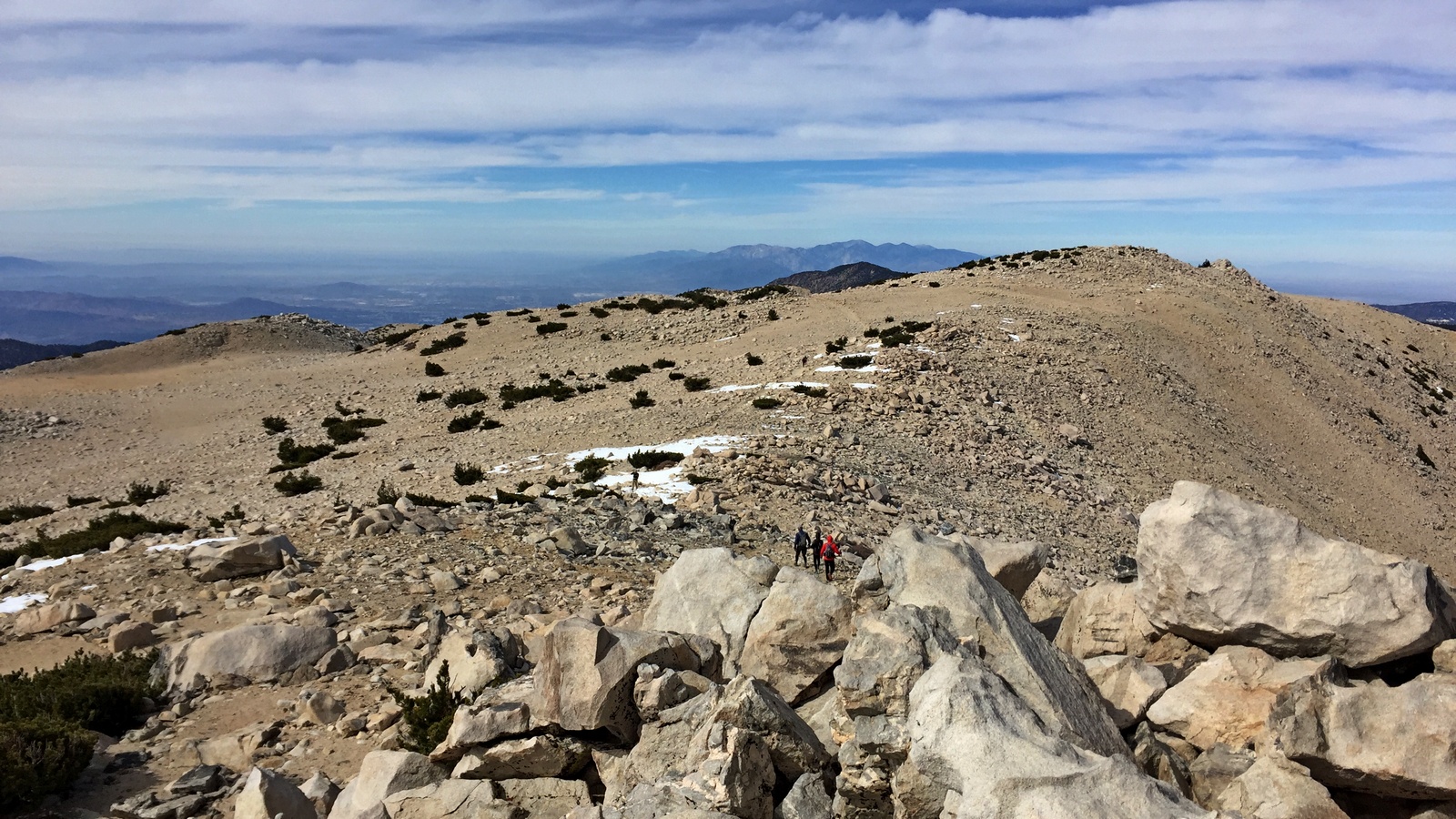
Telescope Peak

Sierra


Friday, December 21, 2018

Death Valley National Park

We was planning backpacking trip over 3 days, but my old Honda Accord did not make it to the trail head through deep sand. It was quite a challenge to dig it out and drive backwards. At least there was no drama with camping in the park, you can legally camp anywhere 1 mile from the main freeways.
Death Valley from Dante's View

Zabriskie Point

Zabriskie Point

Bad water

Devils Golf Course


Mesquite Flat Sand Dunes

Wizard


Sunday, November 18, 2018

Skyline hike

Skyline become my annual "must do" event with many old and new friends joining this hike. 8000 ft elevation gain over 10 miles trail. There was 2 kids this year: Fedor and Peter who successfully completed the hike, I'm very proud!
Skyline trail head


Fedor and Peter


Sunday, October 28, 2018

San Gorgonio via Vivian creek hike

San Gorgonio was the last test for Fedor to qualify for Skyline hike. In fact, I think San Gorgonio is even harder despite less elevation gain. We did it via shortest and steepest Vivian creek trail.

San Jacinto across the Banning pass

Near the top

San Gorgonio summit


Sunday, October 21, 2018

Rattlesnake Peak hike

Rattlesnake Peak ‎5826 ft is just across the canyon from Iron Mt., it's lower and relatively easier if you can stay on the trail. We screwed up and lost the trail going down, end up in the serious bushwhacking.
Rattlesnake Peak ‎


Rattlesnake Peak ‎register


Descending via ridge

Iron Mt. across the canyon


Tunnel

Mama was very "happy" to see this

Sunday, October 14, 2018

Iron Mountain hike

I have been hiking for a while in San Gabriel mountains and never heard about Iron Mt. but one of my co-workers mentioned that this is hardest hike in San Gabriel. Well, I was so curious I went to check it out next weekend. Hike statistics: 14 miles with 7200 ft elevation gain.
Mist in the morning
 We was very lucky with conditions, light rain and mist in the morning was perfect. Trail is following exposed ridge without much shade until almost the top where forest starts.

Spider web

Above the clouds

Sunrise

Iron Mt. register. Baldy behind.

Looking west from Iron Mt.


Resident lizard.


Giraffe