Saturday, June 12, 2010

Pine to Antelope Valley flight, 52 miles

I flew with Jonathan and Tony Deleo. We arrived to launch around 10:30 and wait for thermal cycles block light north wind around noon. We all climbed to 11K or so and headed NE toward Lockwood valley, hang gliders choose fastest and most reliable route A (see following picture):

The problem with route A is that if you don't find lift its a long glide out through strong west wind, which is feeding convergence. I have tried this route before and it was not successful, so this time I decide to try more conservative route B. There are many LZs available in this direction, thermals usually are not well defined, but in my case there was two forming clouds. When I made it to Lockwood valley it was mostly covered by clouds, regardless I had a good glide toward Frazier:
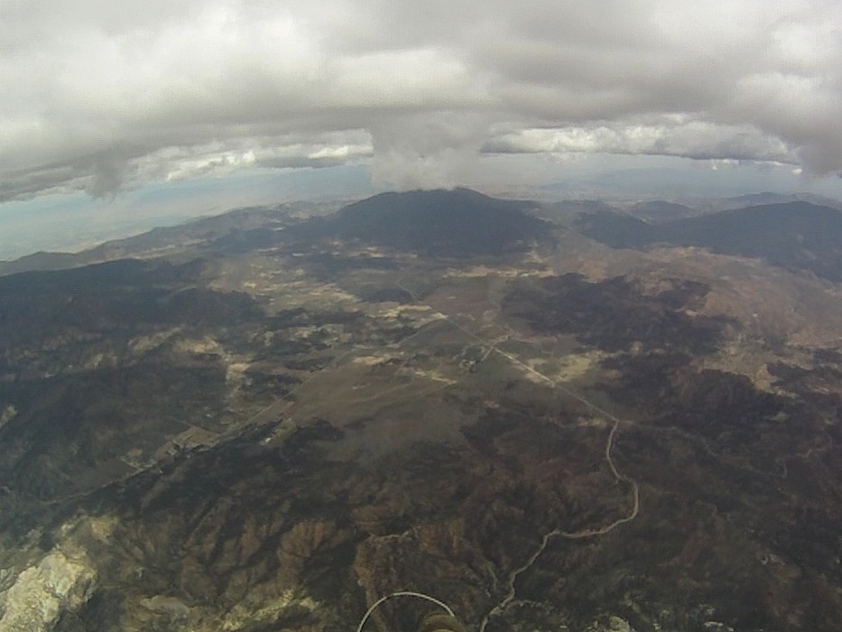
After Frazier its quite tricky to make transition into Antelope valley. There are 3 different air masses mixing here. One is a stable air from Central valley, then breeze coming from Santa Barbara (via Pine) and last one hot and dry air from Mojave desert. General advice is to climb as high as possible over Frazier and then glide toward Quail lake. Well, I try to gain some altitude there, but left it at 9K without much hope. Got really low near Gorman and was ready to land when find a good thermal, which gave me another chance. Topped out at 9600 near I-5 and 138 intersection and headed toward Quail lake:

North wind changed to SW. After crossing the lake I got down to 5500, but once again manage to find very strong +7 m/s (1400 fpm) thermal and continue. At this point Tony and Jonathan landed and Jonathan reported surface winds 15 mph gusting to 30 from the SSW near the mountain, so I decide to land before it pick up even stronger. Another reason for landing was my unpreparedness for this flight in particular I forget to upload class D Lancaster, Palmdale and restricted R-2515 airspace to my GPS and had no idea where they are. But first I want to flew north, out from the mountain, so wind would be at least not turbulent, which I did. I landed backwards and here is illustration to wind profile near the ground:


Flight from Pine Mt., 52 miles from Alex Gagarin on Vimeo.


My GPS track: http://www.paraglidingforum.com/leonardo/flight/339840

Discussion on Santa Barbara forum: http://scpa.info/bb/forum/viewtopic.php?f=1&t=1905

Monday, June 7, 2010

Torrey Pines flight

Actually flight was done in May, but it took me a while to edit and post. I try foot mount for camera, which is work pretty well and Torrey is a perfect place to experiment with camera mounts, speed bar, etc.

Paragliding at Torrey Pines from Alex Gagarin on Vimeo.

Wednesday, June 2, 2010

Walt's to Big Pine flight, 43 miles

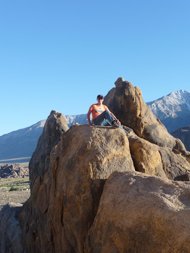
There was 6 PG this year, looking to fly from Walt's on Memorial Day weekend. Number shrink to 3 on Friday (Me, Jonas and Arnie), but it was still 50% more then last year. There was north wind at Saturday and west at Monday, so we decide to fly only Sunday. Initial plan was to camp at Horseshoes Meadows at 10000 ft altitude to get some acclimatization, but -3C° at night convinced us to camp in valley. Lone Pine camp was good place to stay and we also did some rock climbing just before sunset:

Sunday 8:00 am we met Tony, Jeff (HGs) and our driver Mike and headed to launch. There was almost no space left at 9:30, but weather did not turn on until 12. After getting up in saddle I flew back to mountain behind launch and then continue north. Most of the flight we spend with Jonas and Arnie who took off 15 minutes after us manage to overtake us. There was a huge high cloud passing from north to south, which shut down thermals for probably 15 minutes. HG who launched just before it (including Tony and Jeff) had nothing, but sink and has to land. We climbed as high as possible and circled in zero sink waiting for cloud to pass by and then continue down range. Our "favorite" Onion's valley did not disappoint us again. Strong WSW wind turn on washing machine and I have to leave mountains earlier then I want to, but Arnie manage to flew further over high terrain, which allow him easy crossing to Whites and flew to Janie's (100 miles). Jonas try to stay in the mountains too, but not deep enough (40 miles):


There was also many sailplanes along the route, which is fun to watch from the distance, but could make you nervous when thermal close enough. Here is a video:

Flight from Walt's to Big Pine, 43 miles from Alex Gagarin on Vimeo.


GPS tracks: Alex, Jonas and Arnie

Discussion on HG forum: link

Arnie's photos: link

Monday, May 17, 2010

Garlock to Olancha flight, 55 miles

Forecast was for 5-8 mph south wind almost whole day, cloud base 12K near Garlock and 14K+ in Sierra. Logistics was little bit complicated because Tony Deleo initially plan to fly from Black Hawk and my only choice was to join Joe Greblo's group riding from Sylmar. I was not even sure they have room for me and will allow me to go with them, but I took that risk and came at Sylmar LZ at 7:00 am. After short conversation Joe give me good to go and at the same time Tony call and tell that they coming to Garlock too. Arriving at launch about 11:00, clouds was everywhere already, light thermal cycles. I spend about 15 minutes by clearing west launch from bushes and rocks. Tony took off first, then me and then John (Southside). I had tangle in lines, which I could not clear. It was near center of trailing edge and did not affect wing behavior much, so I decide to go with it rather then top land and struggle again with bushes and rocks risking to cut my lines. I find a good thermal in front of launch and 3 of us topped out at 6200 then Tony went on glide to Black Mt., John find another thermal right away and I sink out to launch altitude. Next one gave me about 7500, which seems enough for transition to Black. But going through strong sink I arrived slightly below top of Black. There is long section of Bad Lands after Black Mt. and I could not find good solid thermal to get up, jumping from one "so-so" thermal to another one and basically maintaining same altitude. There is a retrievable road behind Bad Lands and when I made there I really could relax, but 300 AGL did not leave me many options. I was ready to land when heard "beep-beep-beep" indicating that game is not over yet. Now back to cloud base near intersection of 178 and 14 I don't even need to go to Boomer ridge and glided north along 14. Most of the cloud was back in the mountains, but I prefer stay in front, speed system was surely affected by tangle and I did not want to be trapped. Getting close to Olancha, John reported that he is landed safely near road next to power lines. I also was low and landed near paved road. By the time I finished packing my staff Eddie picked up John and was looking for me. Then we chase Tony to Luning, Nevada, had a quick dinner at Bishop and drove back. I got back home at 2:00 am.

Flight from Garlock to Olancha, 55 miles from Alex Gagarin on Vimeo.

Links:
My GPS track
Tony's 214 miles story
Many pilots from Sylmar crew flew 40 miles to Trona

Sunday, April 18, 2010

Saturday, April 17, 2010

Marshall flight, 8 miles FAI triangle

Base was too low for long flights, so I just flew small triangle from Marshall to Crestline ridge then Pine Mt. and back to Marshall. Here is a video from my GoPro

Marshall, Crestline, Pine Mt. from Alex Gagarin on Vimeo.

Camera angle was too low, but I'm still learning this thing. Its already adjusted for next flight.

GPS track:
http://www.paraglidingforum.com/leonardo/flight/317293

Tuesday, March 30, 2010

Marshall to Calimesa flight, 22 miles

Forecast was for 8K cloud base, wind switching from North to SW in general and 10-15 mph North diminishing to zero in Cajon pass and 15-20 East in Banning pass. The whole XC crew decide to go: Bruce, Rebardan, Owen, NMERider, Southside, and Wally drive a chase. I was lucky to squeeze in Bruce's Suburban. Out and return seems most reasonable challenge for the day and everybody flew East first and then try to come back, except NMERider who opted to tag Cucamonga first, which he did. Here is combined track logs (made by NMERider):

As for me I climbed in house thermal just after launch and flew back to Crestline ridge, but did not had much success to get up there and go back to front range. I spend a lot of time near Arrowhead peak trying to get some altitude, but after 30 minutes give up and commit transition arriving quite low. Then condition improves and I start climbing higher and higher. Thermal with Bruce near Harrison peak, but lost him after DAM. DAM was my intended turn point, but with moderate SW wind I could not even come back to Harrison, so I decide to fly open distance instead. Trying to avoid strong winds in Banning pass after highway 38 I turn SSW and flew over flatlands landing next to I-10. Here is some video from my GoPro HD:

Marshall Paragliding from Alex Gagarin on Vimeo.


GPS Track: http://www.paraglidingforum.com/leonardo/flight/309344
Thanks to NMERider for retrieve.