|
| High Sierra Trail Map. Part 1 |
 |
| High Sierra Trail Map. Part 2 |
Logistics was quite complicated because the start and end trailheads are 280 miles apart. My plan was to take overnight bus to trailhead and one of my friends offered to pick me up on the way back. Evgeniy pick me up at 11:30 pm and we were at Greyhound bus station at midnight. I bought tickets online, so just need to register my backpack (30 lb). Bus to Visalia was late arriving at 6:00 am, but I still had another 20 minutes to spare before next bus to Sequoia Park. It was easy to recognize this bus with park's logo. On the
website they say that bus only goes to Museum, but since it was first bus and there was few park employees we drove all the way to Lodgepole, exactly where I need to get my wilderness permit. Buses inside the Park start operating at 9:00, so I had some time for breakfast. Then another 2 buses to Museum and then to Crescent Meadow and at 10:00 I was ready for adventure.
 |
| Crescent Meadow. High Sierra Trail start |
Day 1. Crescent Meadow to Big Hamilton Lake, 16 miles
First miles are not very spectacular. Trail goes on the canyon's side with big mountains far, far away. It passes below Panther Gap and then Alta Peak on the right side.
 |
| High Sierra Trail beginning |
There are few camp sites with bear boxes: Mehrten Creek, Nine Mile Creek but they're small and not worth stopping. Bearpaw Meadow is the first place where view improves significantly and could be considered for spending a night, but I continue.
 |
| Bearpaw Meadow |
 |
| Kaweah Gap |
Rain catch me at Lone Pine Creek and I first decided to camp there and set up my tent, but after an hour skies cleared up and I still have 2 hours to make it to Big Hamilton Lake, which I did. Lake was gorgeous, one of the best I ever saw in Sierra.
 |
| Big Hamilton Lake |
First day after sleepless night and 10 hours on the trail was the most difficult on this trip. Hiking time 8:40, elevation gain 3700 ft.
Day 2. Big Hamilton Lake to Moraine Lake, 14 miles
I woke up at 7:00, had a quick breakfast and on the trail by 8:00. Going over Kaweah Gap was slow. Spectacular view, which become better and better was a main reason to slow down.
 |
| Coming to Kaweah Gap |
 |
| Precipice Lake |
After gap trail goes down into Big Arroyo canyon and then climbs up again on to Chagoopa Plateau.
 |
| Big Arroyo canyon |
That's where I run into another rain and hail. I was lucky to find small cave, to hide from the rain and after 1 hour of waiting continue east.
 |
| Hiding from the rain and hail |
 |
| Hail melting on the trail |
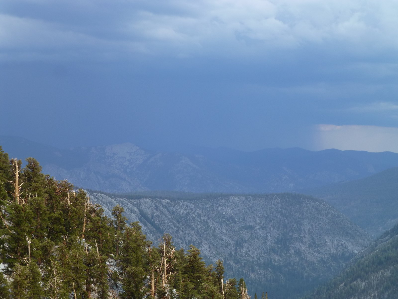
Second rain catch me on the plateau and I spend another hour under the tree.
 |
| Rain in Sierra |
 |
| Waiting under the tree, Chagoopa Plateau |
It was pretty wet everywhere from melting hail and rain. Finally, I made it to Moraine Lake to be the only one to camp there.
 |
| Morain Lake |
It was not comfortable to camp on the wet ground and all my clothes were wet as well. At least I had second set of dry clothes. Hiking time 8:30, elevation gain 3500 ft.
Day 3. Moraine Lake to Junction Meadow, 14 miles
I had a similar timing today 7:00 up and on the trail by 8:00. Weather supposed to improve today with only slight chance of thunderstorms, which never materialized and I had easy, mostly flat section going north in Kern canyon.
 |
| Kern Canyon looking south |
Another pleasant feature of the day was Kern Hot Springs. Actually, they were too hot, so I have to wait for 10 minutes before I can get in. Since Hot Springs located on the river bank I made few round trips between springs and Kern River with ice cold water. It felt almost like Russian bath in the winter.
 |
| Kern Hot Springs |
 |
| Gooseberry |
Junction Meadow was my next camping spot. There was no one there again, except mosquitoes.
 |
| Junction Meadow |
 |
| Kern River |
Since there was no rain in forecast for the night I did not set rain-fly and enjoyed stars from the tent.
 |
| Hiding from mosquitoes in the tent |
Hiking time 7:30, elevation gain 1500 ft.
Day 4. Junction Meadow to Guitar Lake, 12 miles
I woke up at 6:00. Despite low elevation, 8000 ft, it was cold night, hard to imagine how cold it will be at Guitar Lake at 11500 ft. Start hiking at 7:00 and was at Guitar Lake by 2:00 pm already, so I can finish the trail in 4 days if I want to.
 |
| Camping at Guitar Lake |
After I set up my tent I went for evening hike to Hitchcock Lakes.
 |
| Hitchcock Lakes |
There were about 6 other hikers camping at Guitar Lake, first time I was camping with someone else after Hamilton Lakes. Hiking time 7:00, elevation gain 4100 ft.
Day 5. Guitar Lake to Whitney Portal, 15 miles
I woke up at 4:00, skipped breakfast and start hiking at 4:30. I was too conservative about my estimations and was way ahead of schedule.
 |
| Hitchcock Lakes at sunrise |
Just 2 hours to Trail Crest and another hour to Whitney. Surprisingly there was AT&T cell phone reception on the top, so I can check my emails for last 5 days, pretty weird place to work.
 |
| On Whitney |
After endless switchbacks to Consultation Lake
 |
| Switchbacks on Whitney trail |
I finished hike at Whitney Portal at 2:00 pm. Hiking time 9:00, elevation gain 3200 ft, loss 6400 ft.
 |
| Whitney Portal |
Trail statistics:
Total elevation gain official: 18000 ft (according to my GPS: 16300 ft)
Total distance official: 72 miles (according to my GPS: 62 miles)
Total hiking time: 41 hours